Macon-Bibb GIS Day Draws Residents to Terminal Station for Mapping Demos
MACON, Georgia – Macon-Bibb County’s IT Department invited residents to Terminal Station on Wednesday, November 18, for GIS Day. Visitors got a look at how Geographic Information Systems, or GIS, help local government work every day.
This year’s theme was Powering Purpose and Innovation. The county said it showed how GIS goes beyond maps to help departments make informed decisions, improve services and better understand the community.
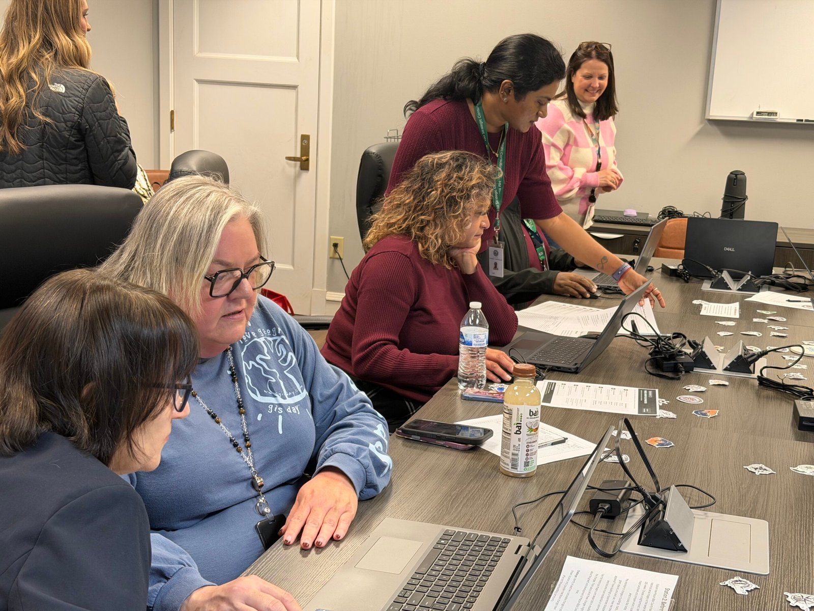
Hands-on activities at the IT Department
Visitors stopped by the IT Department at Terminal Station for interactive activities, games and demonstrations of how GIS is used across Macon-Bibb County government.
Participants explored property information, compared historical images of Macon-Bibb and made their own maps. The activities included a map scavenger hunt, a field data collection demonstration and a hands-on mapping exercise.
What GIS does for the county
“Geographic information systems are more than just maps and graphics; they are problem-solving tools that help our government better make decisions using a vast array of data and information,” said Barbara Marlin, Macon-Bibb GIS Manager.
“Through technology, we can connect departments, partner agencies from the local up to the federal level, and all manner of information to help make sure we’re looking at an issue from all angles,” Marlin said.
GIS supports many county services. Those include tracking infrastructure, planning future developments, and supporting public safety and emergency response.
The county said GIS pulls together information from different departments and agencies. That helps leaders identify needs, solve problems and make decisions that benefit the community.